On the road into Zion, thunderstorms backdrop the mountains. Outside Hurricane, Utah.

Last light on the peaks of Zion.

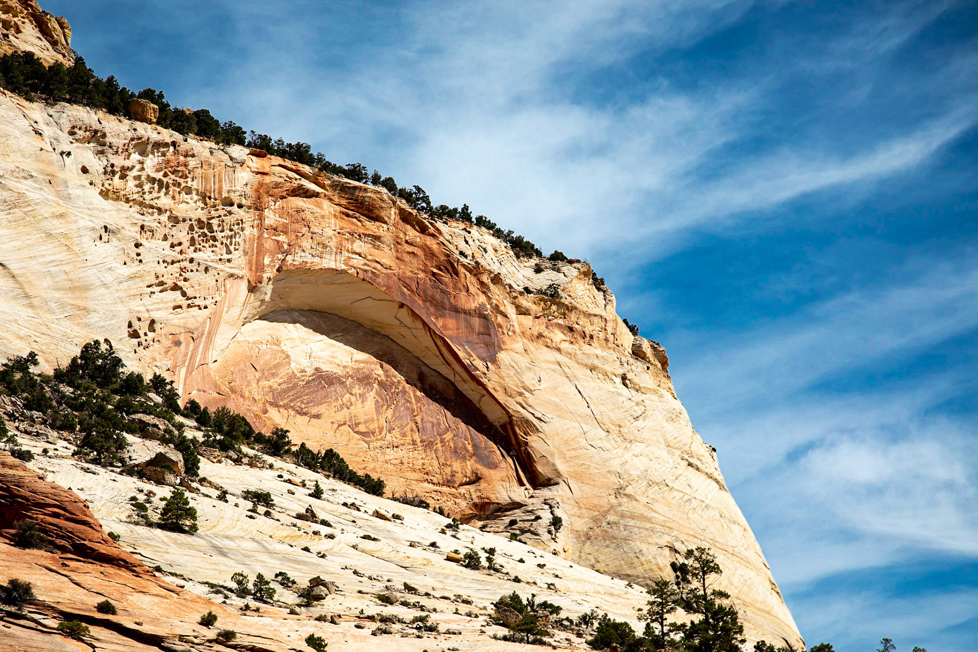
Later arch formation, Navajo sandstone, Zion NP, Utah.

Juniper atop thin wind blown layers of Navajo sandstone, Zion NP, Utah.

Checkerboard Mesa, showing cross bedded windblown sandstone, Zion NP, Utah.

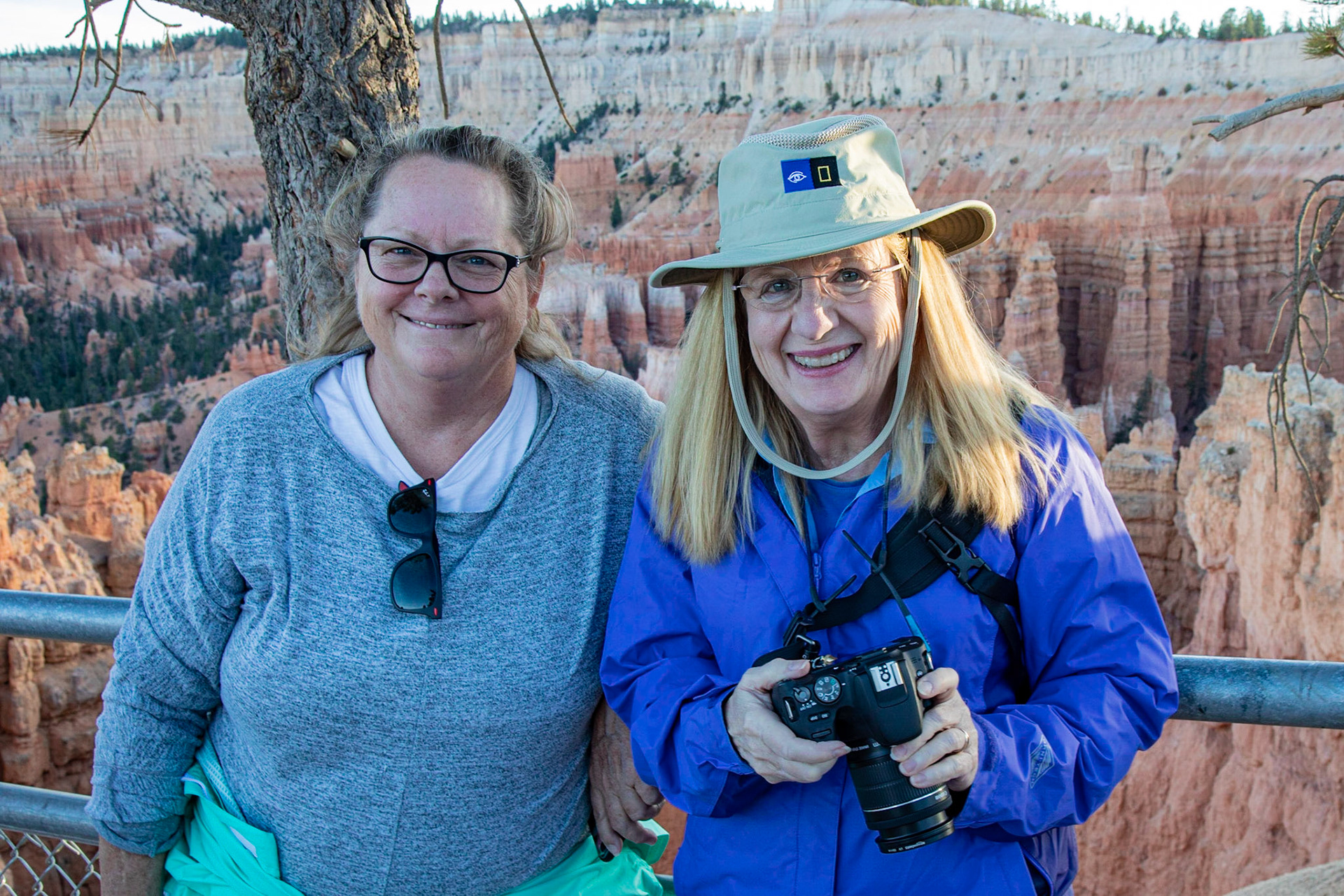
Our intrepid explorers (Linda, Anna) reach the Hoodoos of Bryce Canyon. and are gasping for air at 9000’.

Last light atop the hoodoos, Bryce Canyon NP, Utah.

Bryce Canyon at sunset.

Sometimes the holes in the rock are huge, and sometimes they are wee. Bryce Canyon NP, Utah.

Natural Bridge, Bryce Canyon NP. Formed in limestone.

Big thunderstorm heading across the Paunsaugunt Plateau in Utah just before sunset.

Kodachrome Basin SP, Utah, named by a 1948 NGS expedition.

Aspens turning, ten thousand feet up on the Aquarius Plateau, central Utah.

Cassidy Arch, Capitol Reef NP, Utah. Named for Butch Cassidy. Handy non-outlaw humans added for scale.

300my of strata exposed at Waterpocket Fold, Capitol Reef NP, Utah.

Petroglyphs, Capitol Reef NP, Utah. Fremont culture (600-1300 CE).

A lone tree hangs on to the cliff edge above the Canyon of the Green River, Canyonlands NP, Utah.

Mesa Arch, Canyonlands NP, Utah.

Grand River Viewpoint, Canyonlands NP, Utah. The Grand and the Green Rivers meet just to the right of this photo to form the Colorado.

Double Arch (right), Elephant Mesa (left), Arches NP, Utah.

Double Arch, Arches NP, Utah. The front arch is 122’ high.

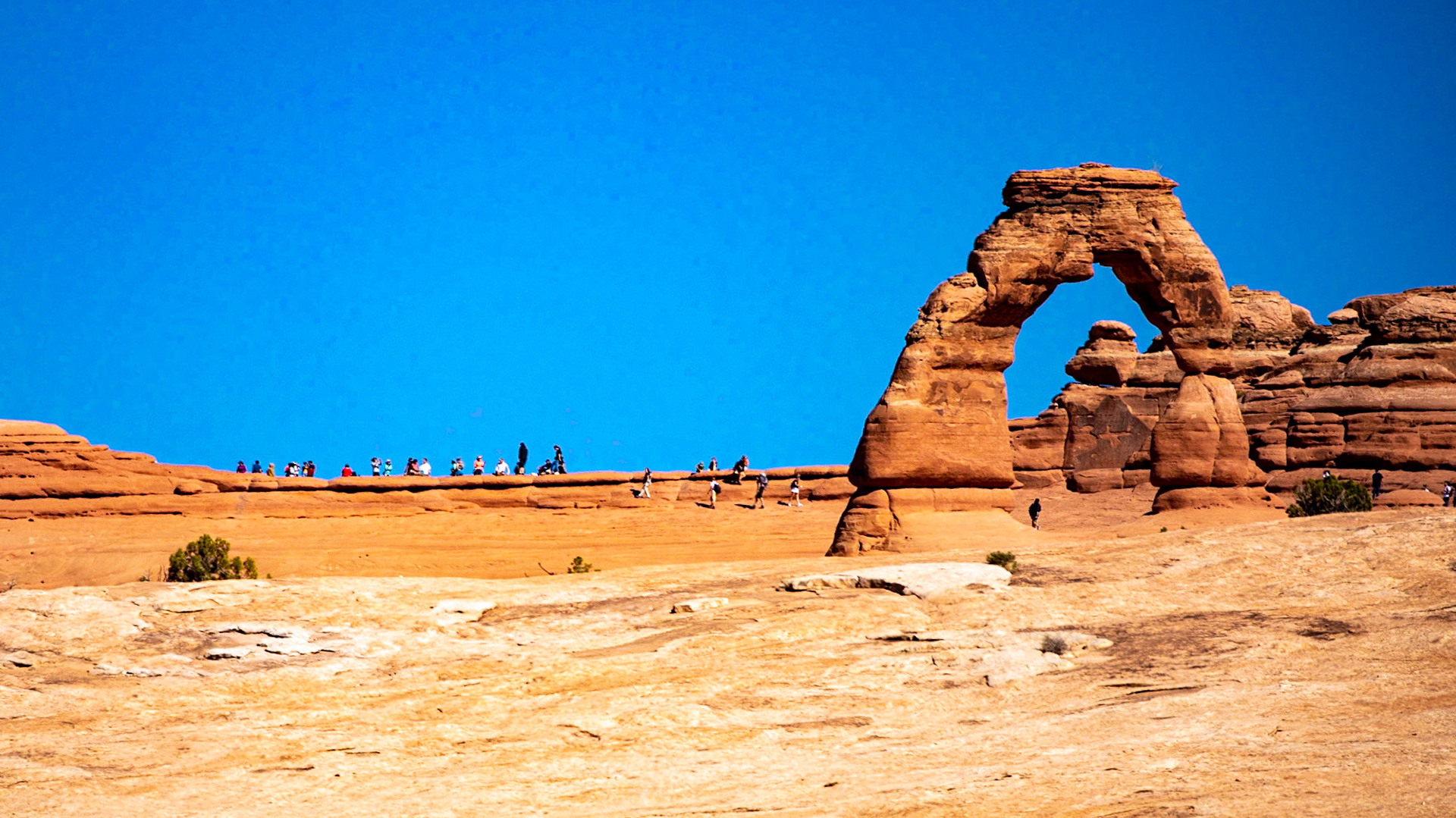
The symbol of Utah, Delicate Arch, Arches NP., taken from a mile away. Handy humans added for scale.

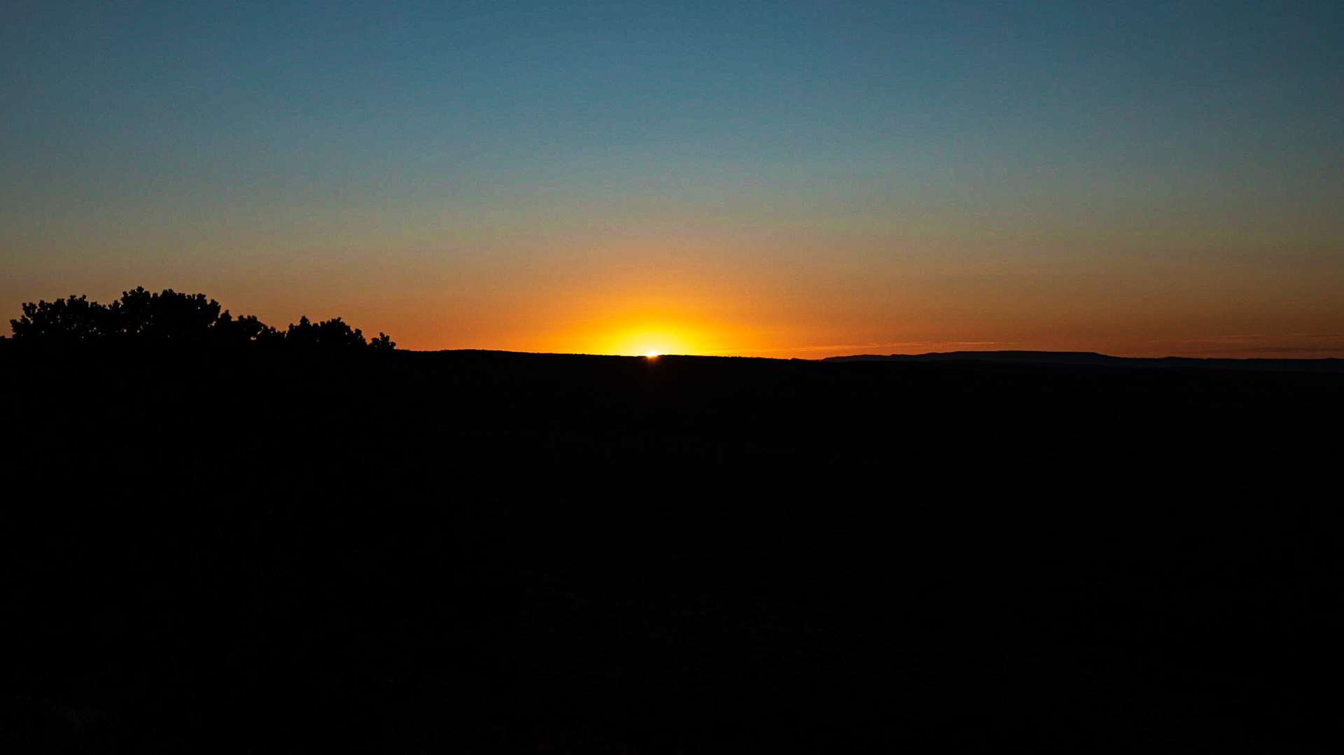
Sunrise at Far View, Mesa Verde NP, Colorado.

Anna returns after forty eight years, (1971-2019) to the Cliff Palace, Mesa Verde NP, Colorado.

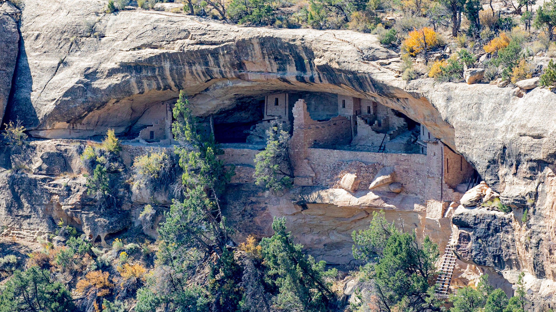
Balcony House, Mesa Verde NP, Colorado.

Almost 9,000 feet up on Mesa Verde NP , Colorado, looking to the northwest into Utah.

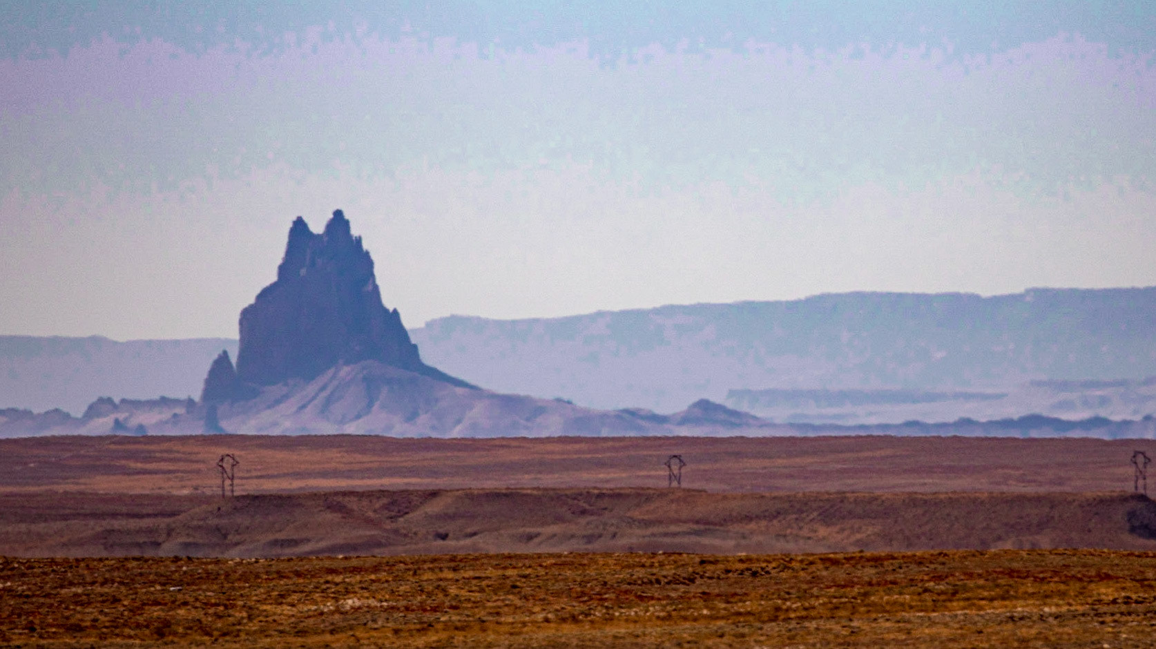
Ship Rock New Mexico, from 35 miles away in Colorado on a hazy day.

Entrenched meaders of the San Juan River, Goosenecks SP, Utah.

Monument Valley, Utah, about thirty minutes after sunset.

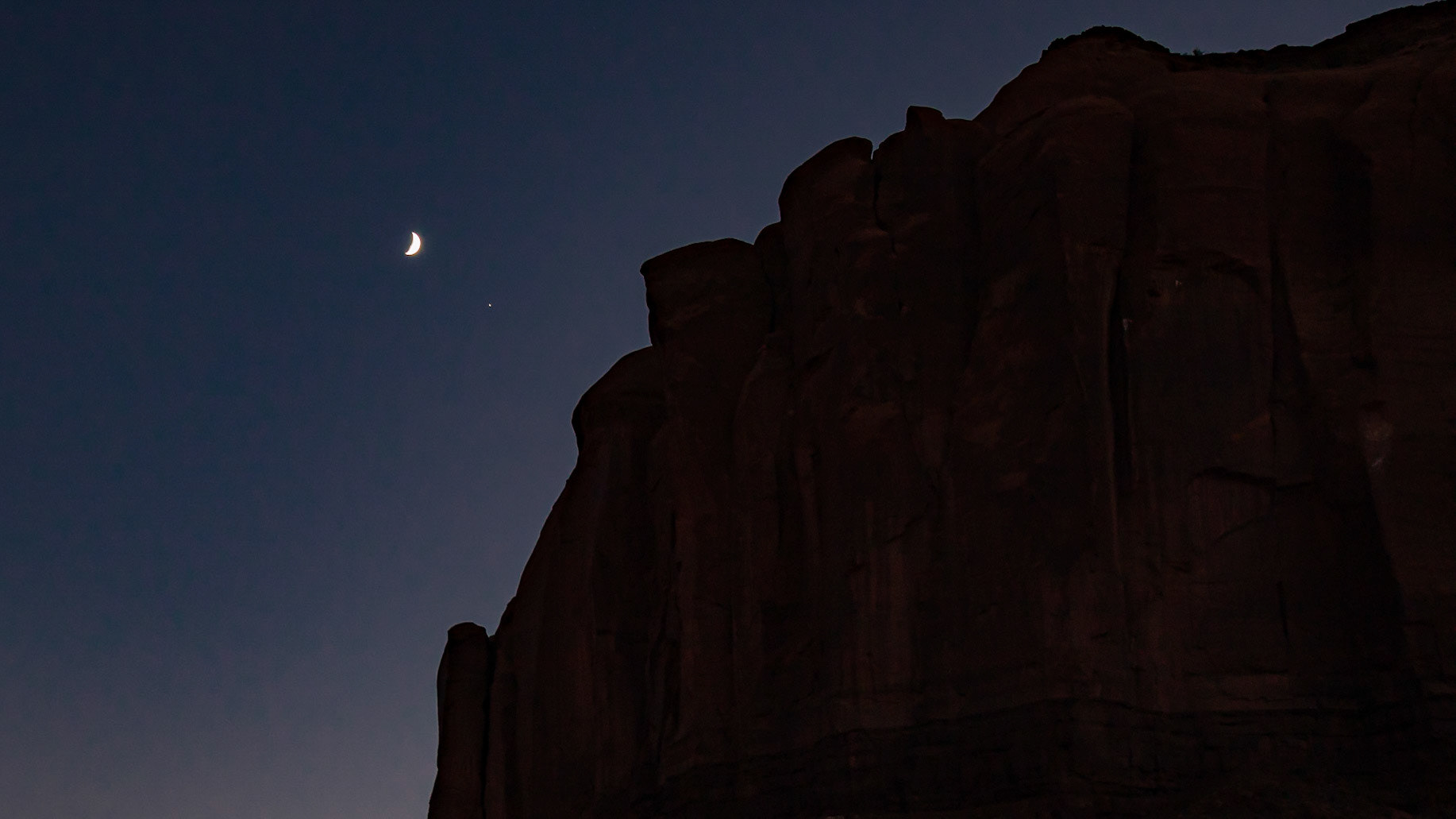
Luna and Jove about to disappear behind the cliff wall. Monument Valley, Utah.

Whipping flags outside the Visitor Center at the Monument Valley Navajo Tribal Park, Utah-Arizona (from left: Utah, USA, Navajo Nation, Arizona). Note the Navajo & USA flags fly at the same height.

Selfie Mesa, Monument Valley Navajo Tribal Park, Arizona. Handy sister added for scale.

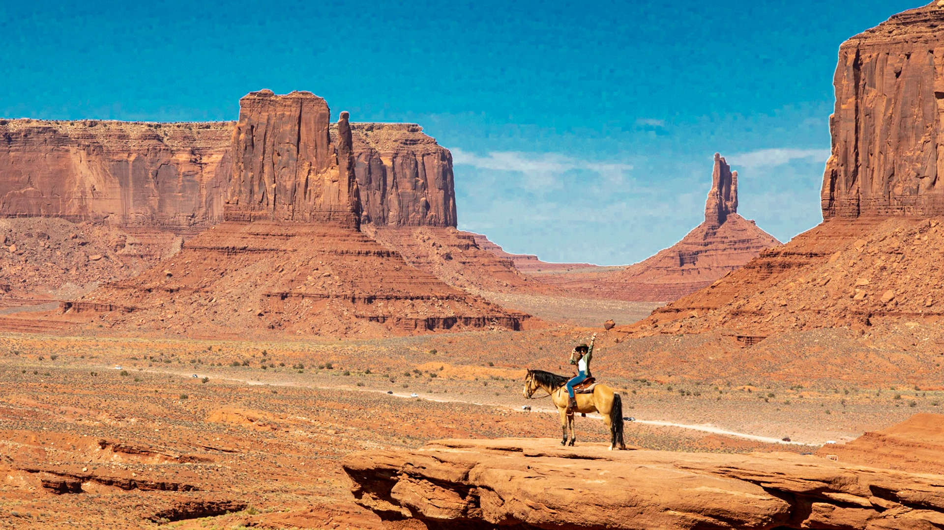
John Ford Point, Monument Valley, Arizona. Handy horse & human added for scale.

Marble Canyon of the Colorado River, Lee’s Ferry, Arizona. In pioneer days, Lee’s Ferry was the only crossing of the Colorado for a thousand miles, from Green River, Wyoming to Yuma, Arizona.

Vermillion Cliffs above the Navajo Bridge Visitor Center, Lee’s Ferry, Arizona.

California Condor (largest bird in North America), perched above the Colorado River , Navajo Bridge, Arizona.

Anna among the aspens at 8000’, Kaibab Plateau, Grand Canyon NP, Arizona.

The blue-green Colorado River seen through Angel’s Window, Grand Canyon NP, Arizona.

Vishnu Temple, from the North Rim of the Grand Canyon. The San Francisco Peaks outside Flagstaff, Arizona and about 70 miles away, are on the skyline.

I shouldda asked for an upgrade. The view from our room at The Venetian, Las Vegas, Nevada.


